

| Environmental | |||||
| Engineering |
| Gps |
| All the information you need to get the best car GPS |
| Seismic |
 Home Home |
 Services Services |
 Methods Methods |
 Uxo Uxo |
 Contact Us Contact Us |
 About us About us |
Seismic Methods
|
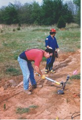
FPM Geophysical and UXO Services geophysicists conduct high-resolution seismic refraction and seismic reflection surveys in support of a variety of engineering, environmental, and hydrogeologic investigations.
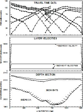
Seismic surveys are also a cost-effective way to extend information derived from borehole logs over a much larger area, minimizing the need for costly multiple borings. Crosshole seismic surveys are used to determine geotechnical properties of rock and soil. FPM Geophysical and UXO Services geophysicists typically use the generalized reciprocal method (GRM) to analyze high-resolution seismic refraction data. Seismic surveys are employed to: Seismic Refraction Survey to Map Bedrock Topography

|


